KU Field Station trail system
The University of Kansas Field Station maintains a system of five miles of public nature trails at its research site located north/northeast of the Lawrence Municipal Airport, a 15-minute drive from downtown Lawrence. See the Google map below.
Trails are open to foot traffic only; no bicycles or motorized vehicles are allowed.
Due to the potential to transmit disease or disturb research projects and wildlife, pets are not allowed even if leashed. Keeping a pet on the trail is not sufficient; even the scent of a domesticated animal can disturb wildlife and interfere with research. Visitors must leave pets at home.
Maps of the full trail system are installed at each trailhead. Scroll below the map for written directions.
Our trails

Driving directions
From the junction of U.S. 59/24 and U.S. 24/40 in North Lawrence, proceed 1.5 miles east on U.S. 24/40 (past the Lawrence airport) to E 1600 Road. Following green signs with directions to the KU Field Station, turn left (north) onto E 1600 Road. You may stop at the first site, the KU Native Plant Research Garden (just 1/2 mile north of 24/40), or continue.
To reach the Fitch Natural History Reservation (information and Google map), the Suzanne Ecke McColl Nature Reserve (information and Google map) and the Roth Trail, continue north on E 1600 Road. (The road veers west briefly toward the Mud Creek levee, then abruptly jogs east, crosses the bridge over the creek, and turns north again).
About 1.5 miles north of the garden, you'll reach the McColl Reserve on the west side of the road; parking is available here at the circle drive near the Roth Trailhead, a large rammed-earth structure designed and built by KU architecture students. A toilet and a drinking fountain are just northwest of the trailhead.
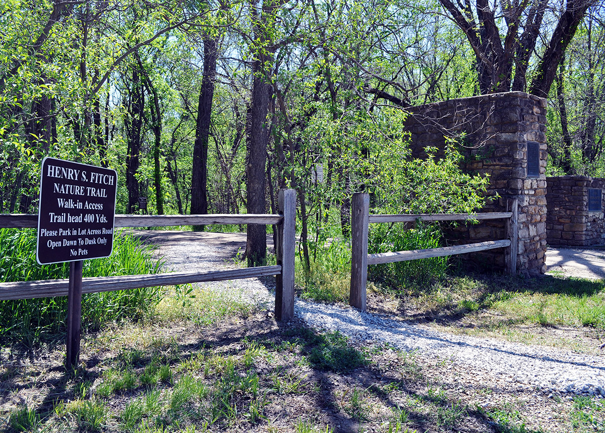
To reach the Fitch Trailhead, cross E 1600 Road through the pedestrian entrance and follow the old road 400 yards. Here, there is extensive signage about the Fitch Reservation's natural history and the research conducted by Henry Fitch, who lived on the reservation for more than 50 years. For detailed information on the natural history of this area, see Henry Fitch's guide to the Fitch Reservation.
The Rockefeller Prairie Trailhead (information and Google map), with a shelter built by KU architecture students, is approximately 1/2 mile farther up the road. Continue up the hill into Jefferson County (E 1600 Road turns into First Street, the county line) and follow the road as it turns east. Parking and information are available at the Rockefeller Trailhead, and interpretive signage provides information at seven stops along the trail. A drinking fountain and composting toilet are situated along the trail not far from the trailhead.
This paved trail is accessible to individuals who use wheelchairs. It ends at the Kaw River Valley Overlook, which offers spectacular views of the area. Visitors may turn around at this site or continue on using other trails that link up with the Rockefeller Trail.