Start Date: 2009
End Date: 2010
Full Citation:
U.S. EPA, $75,000, 2009–2010. Determining the utility and adaptability of remote sensing in monitoring and assessing reservoir eutrophication and turbidity for TMDL assessments. PI: D. Huggins. Co-PIs: M. Jakubauskas, D. Baker.
Category:
- Aquatic
Associated with the KU Field Station: No
Research Summary:
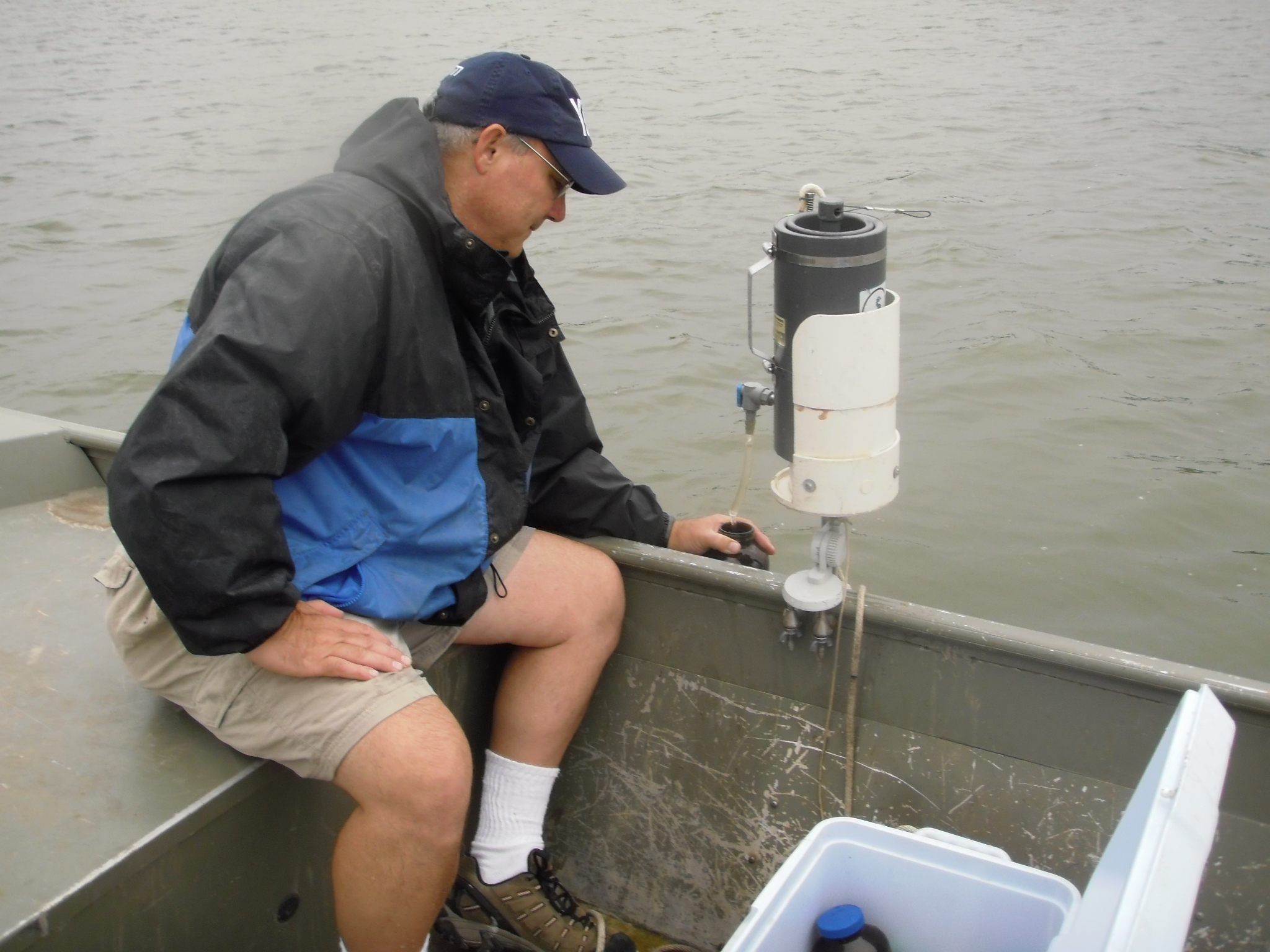
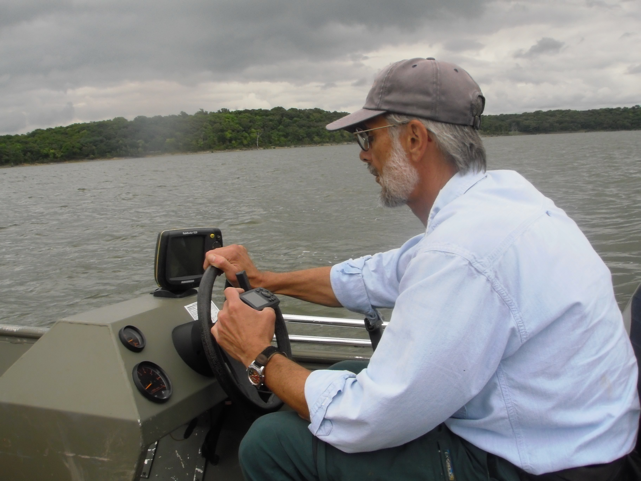
Biological Survey researchers examined 4 Kansas reservoirs out of a pool of reservoirs that have been identified by the Kansas Department of Health and Environment-Watershed Planning Section (KDHE) as exhibiting impairment due to turbidity and eutrophication: Two large lakes (Clinton Reservoir and Hillsdale Reservoir); and two small lakes (Centralia Lake and Louisburg-Middle Creek Lake) were selected as they are typical of impoundments found across much of EPA Region 7. The scientific objectives included:
- Develop statistical models between turbidity, Secchi disk, total suspended solids, chlorophyll a, total phosphorus (TP), and spectral reflectance values;
- Evaluate and compare the models developed in this study with models described in the scientific literature;
- Examine both within-reservoir variability and between-reservoir variability in predicted water quality parameters;
- Sponsor one regional workshop to both share methodologies developed in this project and the outcome models while providing opportunities for the presentation of other regional remote sensing efforts related to TMDL development and monitoring.
Resulting report:
Huggins, D.G, M. Jakubauskas, D.S. Baker, T. Hammer. 2010. Determining the Utility and Adaptability of Remote Sensing in Monitoring and Assessing Reservoir Eutrophication and Turbidity for TMDL Assessments. Open-file Report No. 171. Kansas Biological Survey, Lawrence, KS. 58 pp.
Images:

