Start Date: 2008
End Date: 2009
Full Citation:
U.S. Environmental Protection Agency, $325,498, 2007–2010. The assessment of floodplain wetlands of the Lower Missouri River using an EMAP study approach, Phase II: Verification of rapid assessment tools. PI: D. Huggins. Co-PI: C. Freeman.
Category:
- Aquatic
Associated with the KU Field Station: No
Research Summary:
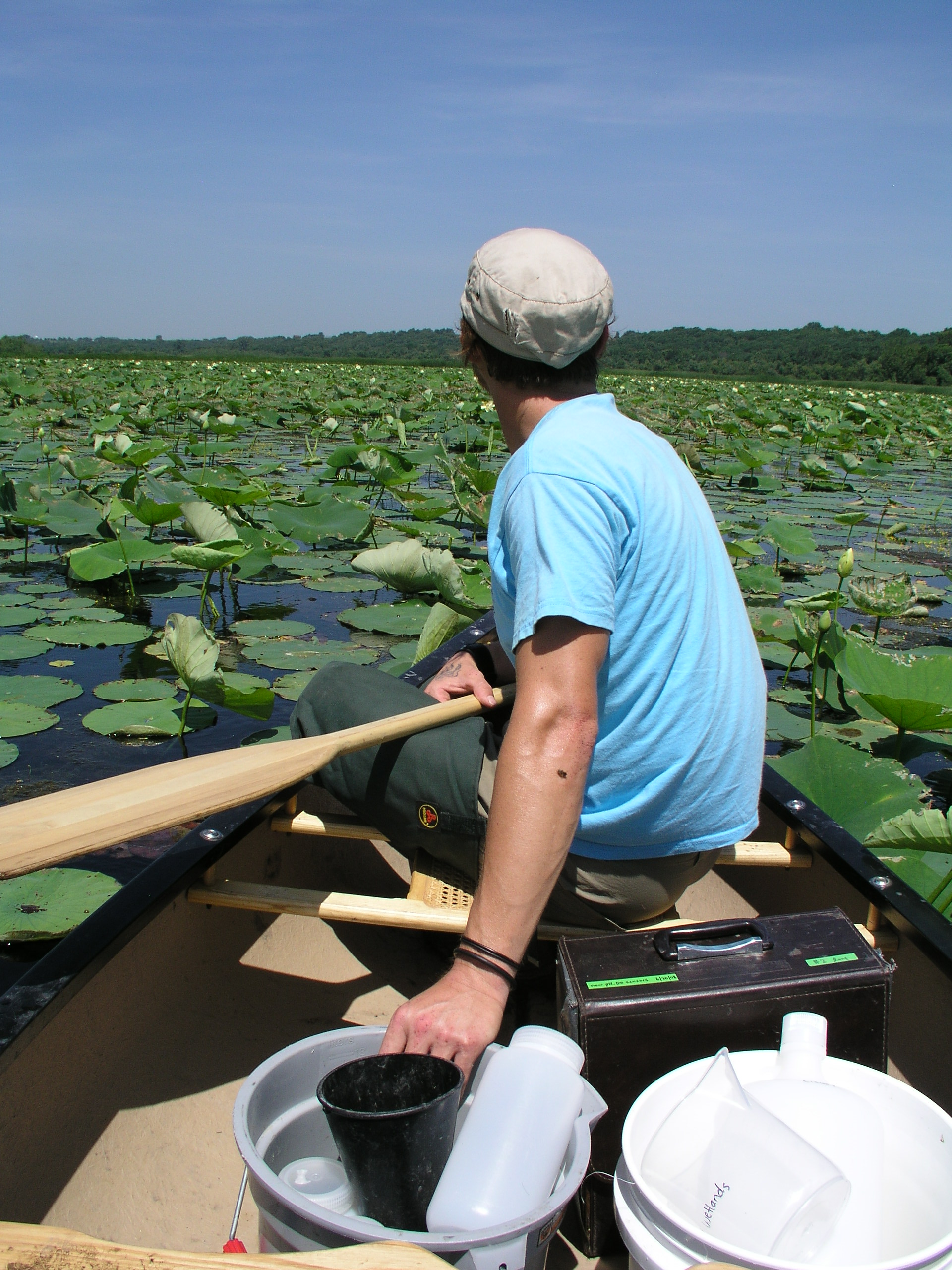
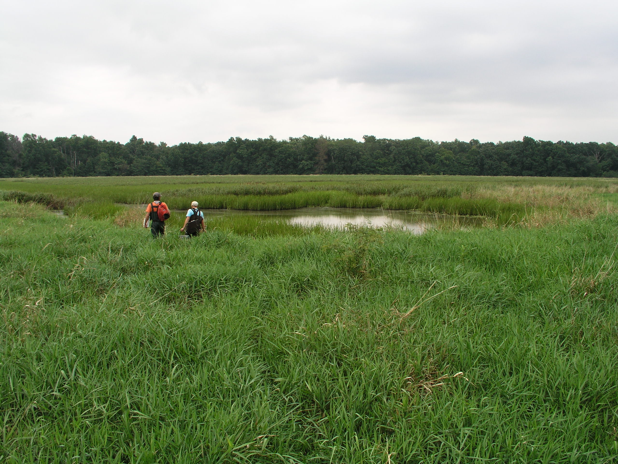
This wetland monitoring and assessment study applied and tested assessment tools (e.g., criteria/metrics, protocols) created in Phase I, provided an unbiased estimate of the current condition of floodplain wetlands in the Lower Missouri River study area, and assessed the veracity of reference conditions determined in Phase I. Goals were accomplished by gathering and assessing water quality, floristic, macroinvertebrate, and landscape data from a population of ca. 40 wetlands selected by an EMAP probability-approach.
Final products:
- Koontz, J., D.G. Huggins, C.C. Freeman, D.S. Baker. 2010. Assessment of Floodplain Wetlands of the Lower Missouri River Using an EMAP Study Approach, Phase II: Verification of Rapid Assessment Tools. Open-file Report No. 165. Kansas Biological Survey, Lawrence, KS. 82 pp.
- Beury, J.H. 2009. Assessing the Ecological Condition of Wetlands in the Lower Missouri River Floodplain. University of Kansas Master's Thesis. 83pp. (pdf)
- Koontz, J.A. 2010. Development of a multiple metric index for macroinvertebrates collected from lower Missouri River floodplain wetlands. University of Kansas Master's Thesis. 136pp. (pdf)
- Shapefiles and database available upon request.
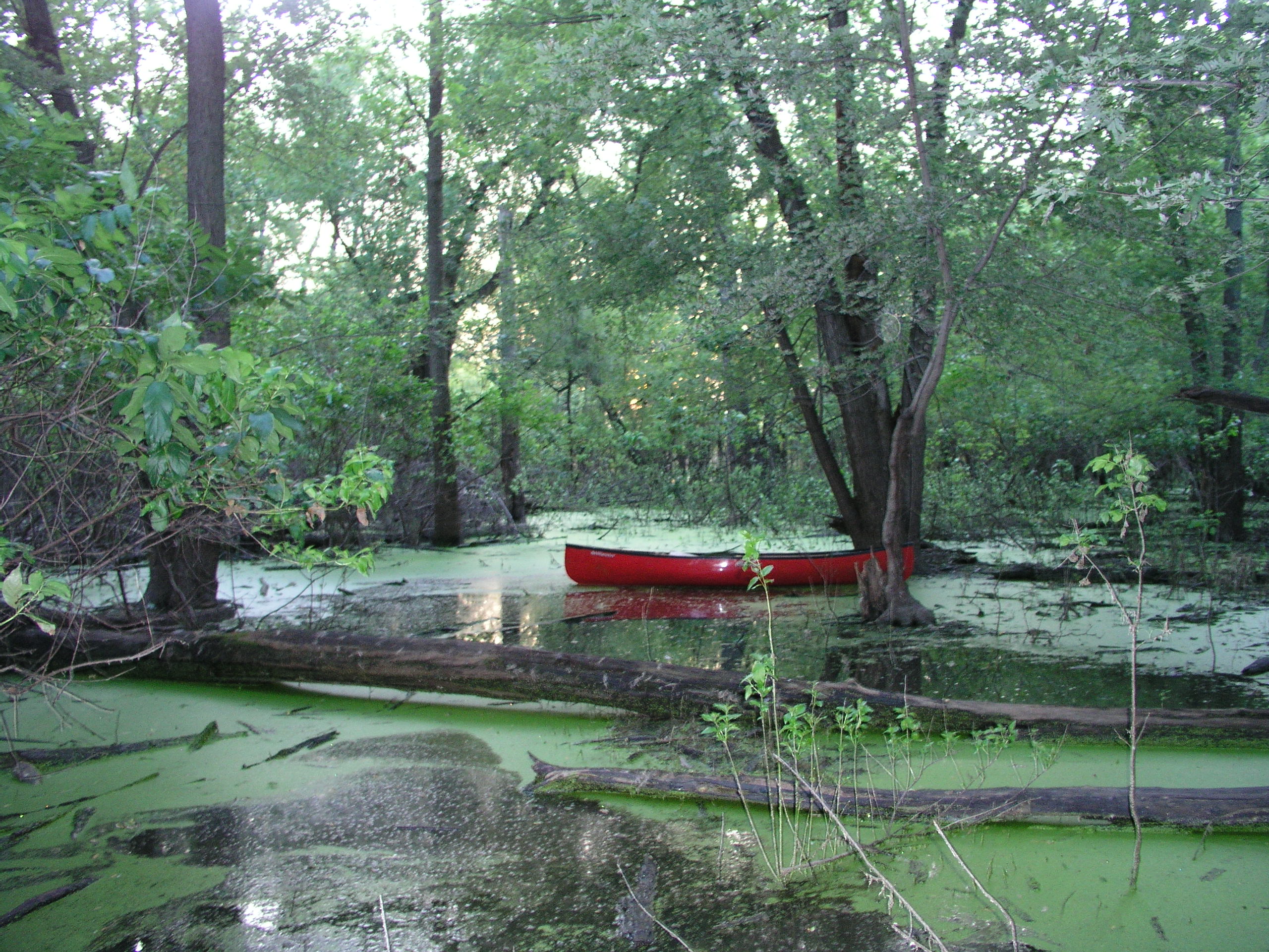
Images: